But while the world’s rainforests do share some qualities — including serving as habitats for a diverse range of wildlife and storing vast amounts of atmospheric carbon dioxide — new UCLA-led research shows just how different rainforests can be, even when they’re located near each other.
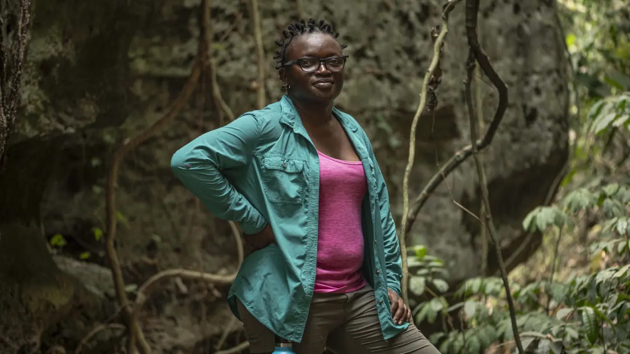
“Tropical forests are not a monolith,” said UCLA ecologist Elsa Ordway, lead author of the study, which was published Oct. 20 in Communications Earth & Environment.
The study is significant because understanding how forests vary from one another could help shape conservation initiatives and efforts to fight climate change. Decision-makers and stakeholders could use the research to more accurately predict how much forests mitigate climate change — and how vulnerable they are to it.
Vegetation in tropical forests, which draws carbon dioxide from the air for photosynthesis, stores about one-fourth of Earth’s terrestrial carbon in leaves, trunks and roots. The specific species living in a forest affect how much carbon it can hold and determine how it responds to natural and human disturbances.
Ordway and her co-authors analyzed two tropical landscapes in the Malaysian portion of Borneo, categorizing them into seven different types based on their growth rates, mortality rates, how much carbon they can hold and other characteristics.
To categorize the rainforests, the researchers used two types of remote sensing technology: a satellite-based laser detection system called LiDAR to measure the height and distribution of vegetation, and spectroscopy to determine the forests’ chemical composition.
Those measurements helped crystallize how the forests vary both in terms of their structure — tree height, foliage shape and gaps in the canopy, for example — and their function — how ecosystems work and how natural resources are distributed.
The researchers found that the two most important variables for distinguishing forest types were leaf mass per area and the amount of phosphorus contained in the canopy — the upper layer of the forest that is formed by treetops. Phosphorus is a chemical essential to plant growth.
“To be able to actually characterize these differences at large scales has really huge value for our ability to understand these forests and how they function,” Ordway said.
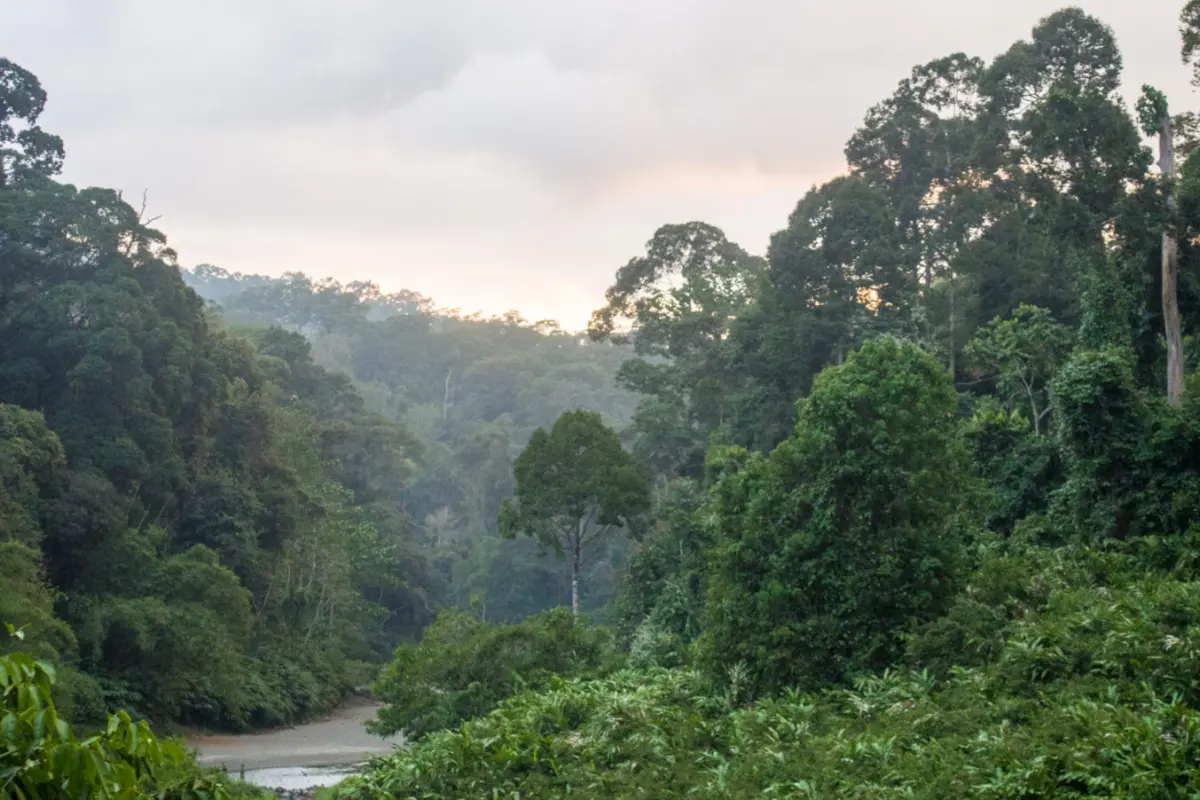
Borneo is the world’s third largest island. Its forests harbor a diverse range of habitats that support more than 15,000 plant species and more than 1,400 animal species. Just 25 acres of Bornean forest coud contain about 700 different tree species — nearly as many as in all of North America.
Since the 1960s, huge swaths of the island’s forests have been destroyed due to deforestation, fires, illegal logging and agricultural expansion — especially for palm oil plantations.
Mapping forests gives policymakers a better understanding of rainforests’ conservation value so they can pass laws and regulations to protect them. In addition, accurately determining rainforests’ carbon storage capacity can help shape market-based conservation programs such as Reducing Emissions from Deforestation and Forest Degradation in Developing Countries — known as REDD+ — which places a cash value on the carbon that rainforests prevent from being released into the atmosphere. Through such programs, large international banks have invested large sums to benefit countries that protect their forests.
And as satellite-based remote sensing improves, so too will the data available to scientists and policymakers. Upcoming satellite missions, such as a NASA hyperspectral satellite mission that is scheduled to launch in 2028, are expected to make vast amounts of data available for free, which could open the door to further studies on differences in forest function. The UCLA-led study could serve as a framework for future analyses and for identifying which variables are meaningful.
“We will soon have available an incredible amount of remote sensing data that’s going to be game-changing for what we’re able to measure and monitor across ecosystems globally,” Ordway said.
Until now, forest types have been mapped by researchers on the ground who identify different species and measure functional traits. But that type of analysis is limited by cost and scientists’ ability to access certain parts of rainforests.
Ordway said the same approach her team used could also be extended to studying other types of forests and other ecosystems.