climate change, nature & conservation
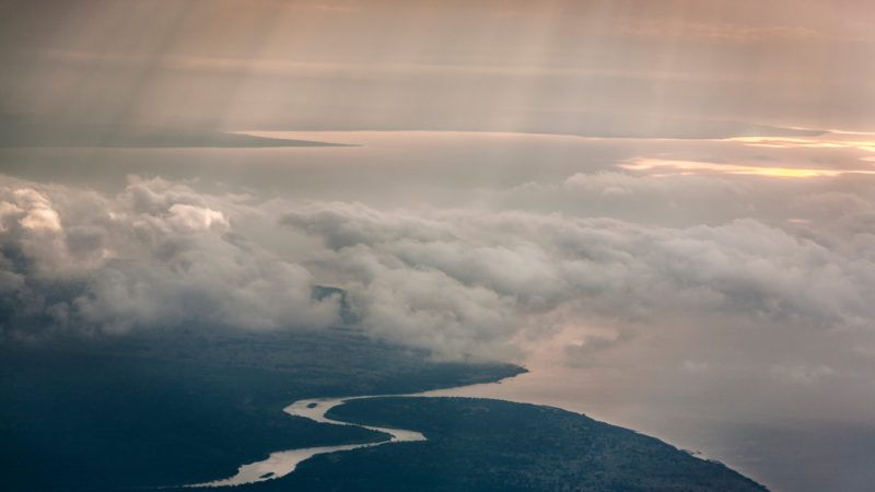
High-tech rainforest map brings climate and conservation efforts into sharp relief
The map was created using methodology developed by Adjunct Professor Sassan Saatchi, an expert on tropical forests and the global carbon cycle with UCLA and NASA’s Jet Propulsion Laboratory. It combines data from satellites and an airplane-based laser detection system known as LiDAR, or light detection and ranging, to map the height and crown of trees at a fine-scale resolution.
