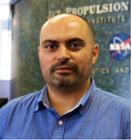
Antonio Ferraz
Associate Project Scientist & Research Scientist
UCLA IoES & Jet Propulsion Laboratory, Pasadena, California
António Ferraz is a remote sensing scientist interested in the spatial variability of forest structure, diversity degradation and carbon density with focus on Tropical ecosystems. He has been using physically-based models and machine learning frameworks to map forest biophysical metrics by integrating satellite, airborne and in-situ measurements. He develops methods and software to model large-scale airborne lidar 3D point clouds and infer tree-size frequency distributions, tree structural diversity, forest vertical stratification and habitat quality. António Ferraz is a Principal Investigator for the NASA GEDI Science Team with focus on mapping the forest structural diversity from GEDI measurements and modeling the diversity-carbon relationship across biomes and forest degradation gradients in order to support policy-making on the conservation and restoration of ecosystems.
Education
Ph.D., Geophysics, Paris Institute of Earth Physics, France (2012)
M.Sc., Geospatial Engineering, University of Coimbra, Portugal (2007)
