The Toxic Truth
How much pollution is coming from that factory near you? You have the right to know and UCLA students have made a website to help you find out.
By Renata De La Torre, Environmental Science Student
How much pollution is coming from that factory near you? You have the right to know and UCLA students have made a website to help you find out.
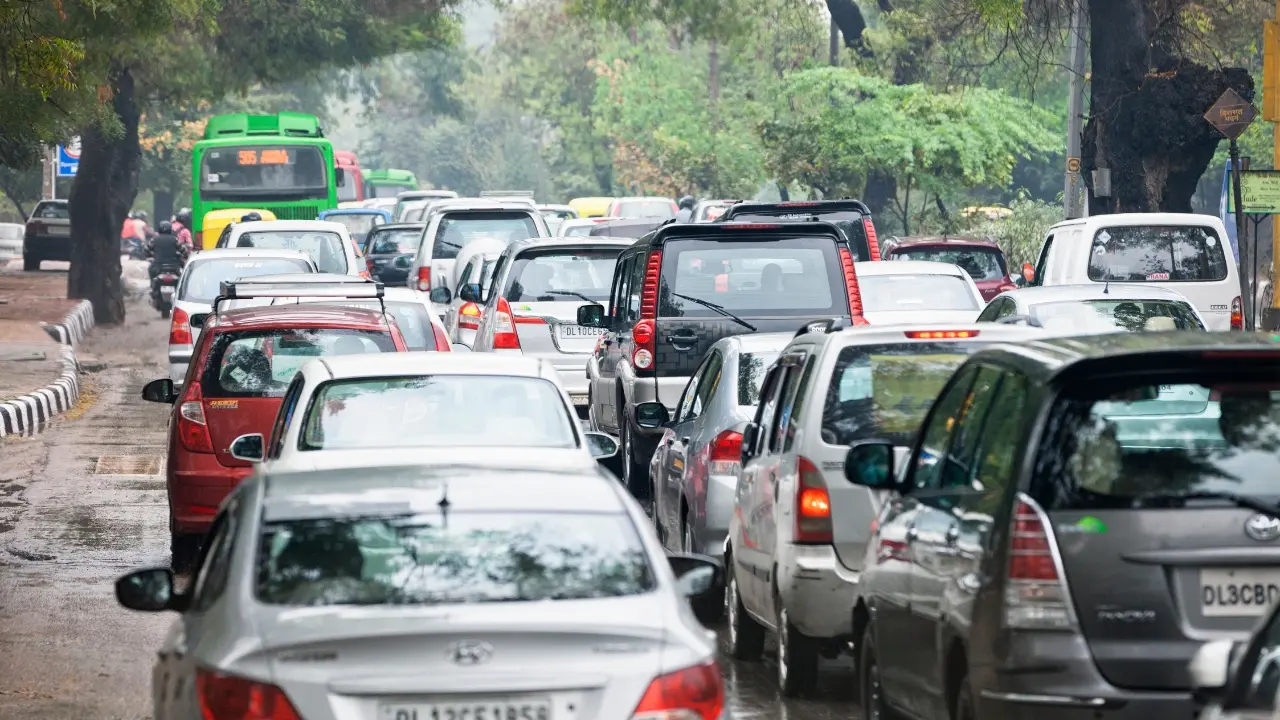
Millions of pounds of hazardous chemicals are released into our environment by industries every year. Within Los Angeles County alone, where our beautiful UCLA campus resides, more than eight million pounds of toxic chemicals are released every year!
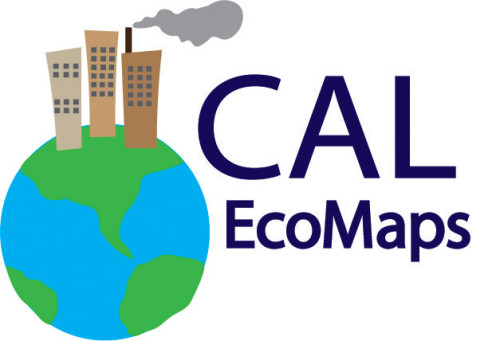
A team of five Environmental Science majors from the Institute of the Environment and Sustainability (IoES) and UCLA Grand Challenge project, under the guidance of faculty advisor Professor Magali Delmas, have created a website that shows how emissions from local factories are impacting air quality in Los Angeles County.
Cal EcoMaps features an interactive map with detailed information about 156 facilities representing the top five emitting industries — petroleum refineries and bulk terminals, primary metals, fabricated metals, and chemical production. Users can easily identify the highest air polluting facilities within each industry and can also take action by contacting facilities directly through the website.
It is the hope that through Cal EcoMaps communities will learn about air pollution in their community, The website is based on data from the U.S. Environmental Protection Agency (EPA) Toxic Release Inventory (TRI) and this project is part of the EPA TRI University Challenge — an initiative designed to find innovative ways to increase public awareness of industrial releases of toxic chemicals in communities and around the country. UCLA’s Institute of Environment and Sustainability was one of six universities selected. Cal EcoMaps is hosted by the Center for Corporate Environmental Performance based at the IoES.