Thomas Gillespie
Co-Chair, Environmental Science and Engineering (D.Env.) Program; Professor
Department of Geography
1255 Bunche Hall
Los Angeles, CA 90095
(310) 825-1818
tg@geog.ucla.edu
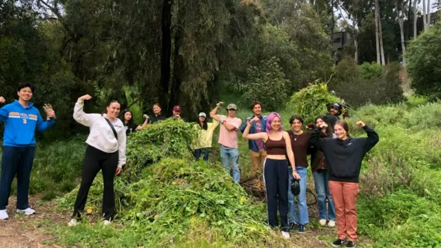
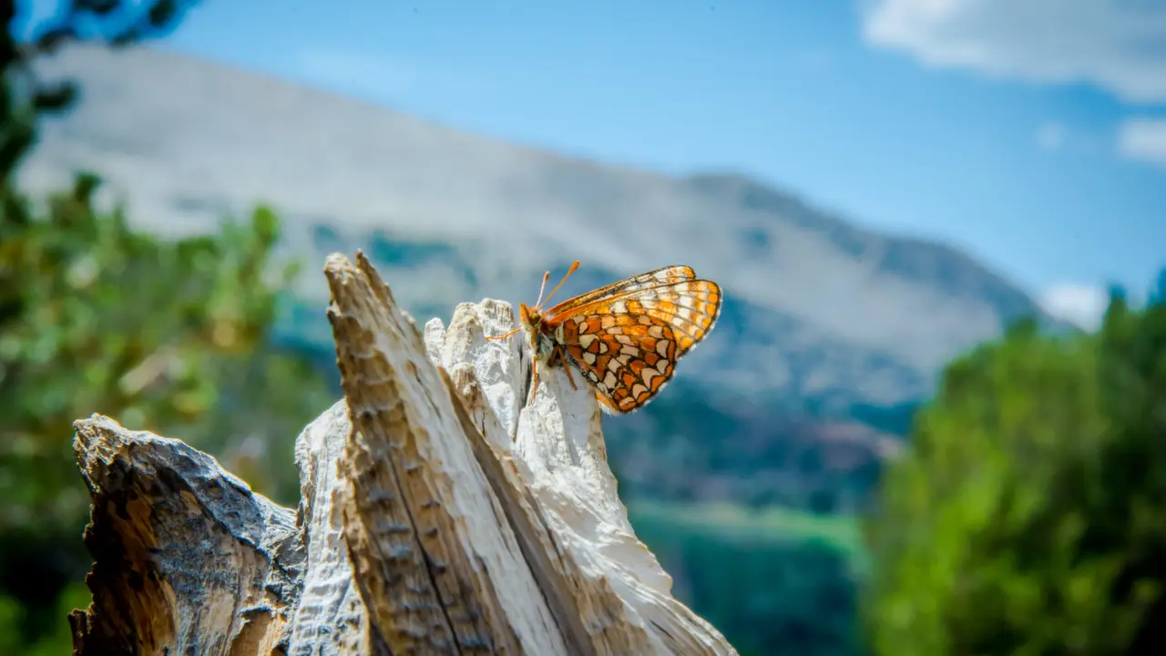
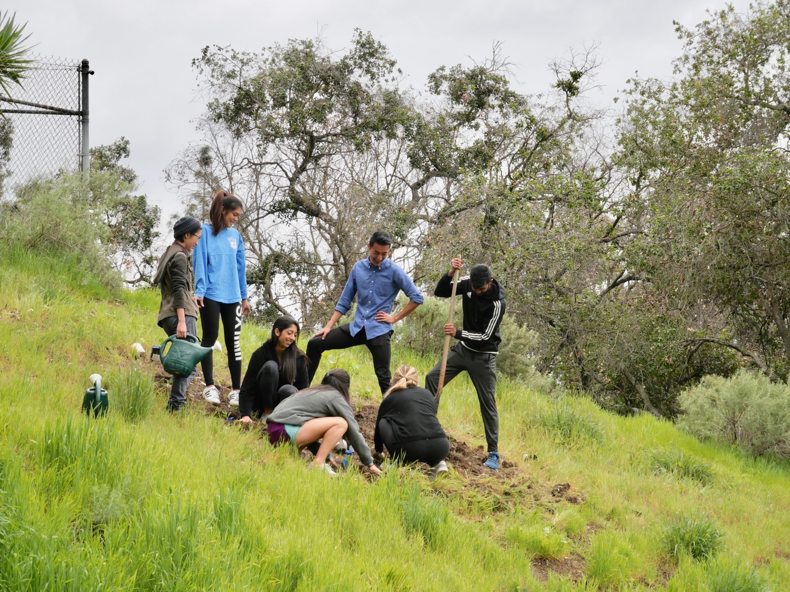
Biodiversity Atlas of Los Angeles
Research Interests
My past research interests have focused on using geographic information systems (GIS) and remote sensing data for predicting patterns of species richness and rarity for plants and birds at a regional spatial scale.
Subfields
Biogeography, Forest Ecosystems, Remote Sensing
Biodiversity Research
My botanical research will continue to focus on surveying tropical dry forests in biodiversity hotspots. I have collected floristic data from Wallacea, Sundaland, Indo-Burma, Mesoamerica, New Caledonia, and Caribbean hotspots and within four years, I will collect data from a number of other tropical dry forests in biodiversity hotspots. This research is field intensive and taxonomically challenging but provides comparative floristic and structural data for regions where relatively little information exists. This research will result in a number of publications on global conservation priorities, natural resource management, and tropical ecology and will be used as ground truth data for remote sensing studies of anthropogenic disturbance and estimates of forest biomass.
My faunal research has focused predominately on tropical bird communities, but I have published papers on mammal and herpetofauna diversity. My long-term research agenda for fauna will focus primarily on combining detailed natural history and field data with remote sensing data to model species distributions and probability of extinction in fragmented landscapes. Models of species distributions will also be examined for a number of environmental change scenarios to predict the future distribution of species.
Remote Sensing Research
My remote sensing research is divided into airborne and spaceborne sensors that can be used to measure and monitor terrestrial vegetation. My spaceborne sensor research focuses specifically on high-resolution data from Landsat and IKONOS satellites to test hypotheses on the utility of these sensors for predicting floristic composition and structure in fragmented landscapes and to develop new algorithms that predict the distribution and abundance of endangered species. Advances in geographic information systems and remote sensing techniques have resulted in a number of landscape metrics and indices that may be used to predict the distribution of species richness in habitat fragments. I am currently testing the utility and accuracy of landscape metrics and remote sensing indices for predicting patterns of woody plant species richness and rarity in tropical dry forests of south Florida and Oceania. In particular, I focus on testing the accuracy of landscape metrics within three fragmented systems: anthropogenic fragments, natural habitat fragments, and true islands. The long-term goal is to develop algorithms that predict the distribution of plants and endangered species in other tropical dry forest regions and California ecosystems.
Dr. Gillespie’s interests focus on using geographic information systems (GIS) and remote sensing data for predicting patterns of species richness and rarity for plants and birds at a regional spatial scale.
Education
Ph.D. University of California, Los Angeles, 1998
Department of Geography
M.A. California State University, Chico, 1994
Department of Geography and Planning
B.A. University of Colorado, Boulder, 1990
Department of International Affairs
Selected Publications
Ibanez, T., Keppel, G., Menkes, C. Gillespie, T., Lengaigne, M. Mangeas, M. Rivas, G. and Birnbaum, P. 2018. Globally consistent impact of tropical cyclones on the structure of tropical and subtropical forests. Journal of Ecology(In Press)
Yao, T., Xue, Y., Chen, D., Chen, F., Thompson, L., Cui, P., Koike, T., Lau, W., Lettenmaier, D., Mosbrugger, V., Zhang, R., Xu, B., Dozier, J., Gillespie, T., Gu, Y., Kang, S., Piao, S., Sugimoto, S., Ueno, K., Wang, L., Zhang, F., Sheng, Y., Guo, W., Wang, W., Ailikun, Yang, X., Ma, Y., Shen, S., Su, Z., Chen, F., Liang, S., Liu, Y., Singh, V., K., Yang, Yang, D., Zhao, X., Zhang, Y., and Li, Q. 2018. Recent Third Pole’s rapid warming accompanies cryospheric melt and water cycle intensification and interactions between monsoon and environment: multi-disciplinary approach with observation, modeling and analysis. Bulletin of the American Meteorological Society(In Press)
Okin, G.S., Chunyu, D., Willis, K.S., Gillespie, T.W., and MacDonald, G.M. 2018
The impact of drought on native southern California vegetation: remote sensing analysis using MODIS-derived time series. Journal of Geophysical Research – Biogeosciences(In Press)
Pouteau, R., Gillespie, T.W., and Birnbaum, P. 2018. Predicting biodiversity patterns from NDVI time series: the devil is perhaps not in the detail. Remote Sensing10, 5.
Robinson, C., Saatchi, S., Clark, D., Hurtado Astaiza, J., Hubel, A.F., and Gillespie, T.W. 2018. Topography and three-dimensional structure can estimate tree diversity along a tropical elevational gradient in Costa Rica. Remote Sensing10, 629.
Franklin, J., Andrade, R., Daniels, M.L., Fairbairn, P., Fandino, M.C., Gillespie, T.W., González, G., Gonzalez, O., Imbert, D., Kapos, V., Kelly, D.L., Marcano-Vega, H., Meléndez-Ackerman, E.J., McLaren, K.P., McDonald, M.A., Ripplinger, J., Rojas-Sandoval, J., Ross, M.S., Ruiz, J., Steadman, D.W., Tanner, E.V.J, Terrill, I., and Vennetier, M. 2018. Geographical ecology of dry forest tree communities in the West Indies. Journal of Biogeography 45, 1168-1181.
Gillespie, T.W., Ostermann-Kelm, S., Dong, C., Willis, K.S., Okin, G.S. and MacDonald, G.M. 2018.Monitoring changes of NDVI in protected areas of southern California. Ecological Indicators88, 485-494.
Ibanez, T., Keppel, G., Baider, C., Culmsee, H., Florens, V., Franklin, J., Gillespie, T.W., Laidlaw, M., Martin, T., Ostertag, B., Parthasathy, N., Ratovoson, F., Shinichiro, A., Webb, E., Whistler, A., Whitfeld, T., Zang, R., and Birnbaum, P. 2018. Regional forcing drives plot-level species diversity and composition on islands in the Indo-Pacific. Global Ecology and Biogeography27, 474-486.
Silk, J.W.F. et al. 2018. A phylogenetic classification of the world’s tropical forests. Proceedings of the National Academy of Sciences of the United States of America115, 1837-1842.
Rocchini, D., Bacaro, G., Chirici, G., Re, D.D. ,Feilhauer, H., Foody, G.M., Galluzzi, M., Garzon-Lopez, C. X., Gillespie, T.W., He, K.S., Lenoir, J., Marcantonio, M., Nagendra, H., Ricotta, C., Rommel, E., Schmidtlein, S., Skidmore, A.K., Van De Kerchove, R., Wegmann, M., and Rugani, B. 2018. Remotely sensed spatial heterogeneity as an exploratory tool for taxonomic and functional diversity study. Ecological Indicators85, 983-990.
Rovzar, C., Gillespie, T.W., Shirman, M.K., Hubel, A.F., and Kawelo, K. 2018. Management implications for the reintroduction of the endangered Hawaiian state flower Hibiscus brackenridgei.Restoration Ecology26(3), 516-524.