Using remote sensing to monitor antibiotic resistance vectors in Southern California coastal waters
Around two million people in the United States contract an antibiotic resistant infection every year, resulting in at least 23,000 associated mortalities and jeopardizing our ability to treat infections and…
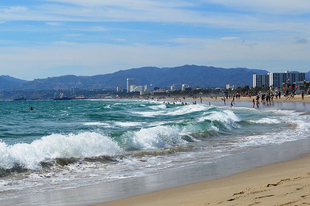
Around two million people in the United States contract an antibiotic resistant infection every year, resulting in at least 23,000 associated mortalities and jeopardizing our ability to treat infections and diseases. A recent rise in the prevalence of antibiotic resistant bacteria (ARBs) in the environment poses a significant public health risk due to the potential for lethal diseases to become untreatable. One area of increasing concern is potential for exposure to ARBs at Southern California’s beaches. During storm events, ARBs that accumulate on land can enter coastal waters as runoff and can then be ingested or inhaled by people during recreational ocean activities. A previous Practicum team at UCLA found that people who surfed during and soon after wet weather events were over six times more likely to carry methicillin-resistant Staphylococcus aureus (“MRSA”), which causes skin infections and can be life-threatening, in their nasal cavities than were surfers who avoided the water during this time.
Our practicum team will use findings from the previous project and couple it with new remote sensing satellite data to expand opportunities for water quality monitoring to protect public health. Currently, easy and immediate access to information on coastal water quality for recreational beachgoers is difficult, if not impossible, to come by. Field sampling of beach water provides accurate water quality data, but can be costly and is often collected only infrequently, and results may not be available for surfers or swimmers in a useful timeframe. A cheaper, more accessible option for analyzing water quality may be through use of remote sensing, which involves collecting satellite imagery of large spatial areas. We will investigate potential relationships between harmful contaminant plumes and satellite data by simultaneously collecting water samples as satellites pass over different regions of the Southern California coast. This project aims to advance the application of satellite data modeling for public health and has the potential to better inform the public about how they can protect themselves from harmful pathogens in coastal waters.
Student Team: Kierstin Blatzheim, Albert Cao, Jasmine Summer-Evans, Max Menczer, Rachel Han, Cade Mills, Savannah McCarthy, and Sophia Winter
Client: NASA’s Jet Propulsion Laboratory (JPL)
Advisor: Yuwei Kong