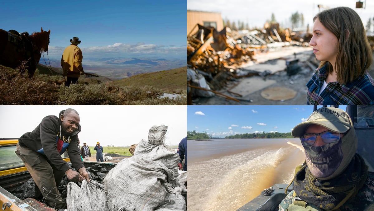
Environmental Storytelling Collaboration with KCET
LENS has partnered with KCET, the nation's largest independent public media company to produce engaging, research-driven environmental stories.
LENS has partnered with KCET, the nation's largest independent public media company to produce engaging, research-driven environmental stories.

Exploring How Increased Community Garden Engagement Can Connect Students, Faculty, and Staff to Existing Campus Resources, Which Promote Food Security, Urban Agriculture, and Healthy Lifestyles

Pictured above, left to right: Joris Eigirdas (team leader), Aria Soeprono, Emilee Hosking, Kyle Alves, Kikei Wong (stakeholder), Leah Liking’s, Natalie Gonzalez (team leader) SAR Academic Waste Diversion Team: Greening…

Pictured above, left to right: [top] Griffin Carter, [middle] Annie Wu, Aya Elarid, Laurel Thomas, [bottom] Elizabeth Popescu (team leader), Ritika Singh (stakeholder), Anh-Vy Pham (team leader) SAR Green…

Pictured above, left to right: Elizabeth Tanner (team leader), Liana Huang, Jasmine Summers-Evans (team leader), Kristen Tam, Madeleine Farrington, Clare Schumann SAR Lawn Management Team: Measuring the Effectiveness of…

Pictured above, left to right: Jo Tarczynski, Maria Ignacio, Kate Minden (team leader), Alexandra Koch, Fumio Igarashi, Sarina Levin (team leader) SAR Green Games Team: Quantitatively and Qualitatively Assessing Sustainability…
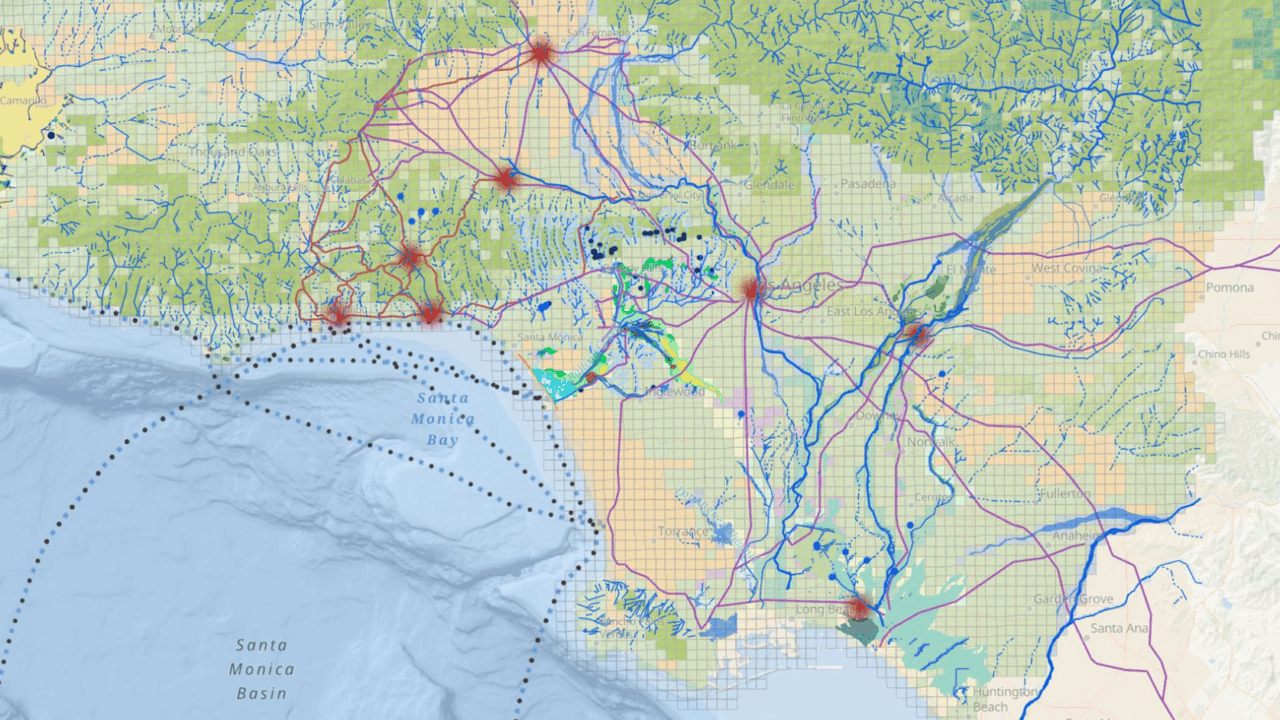
The UCLA Energy Atlas is the first of its kind interactive web atlas that provides access to the largest and most disaggregated building energy data available in the nation. It now comprises data from both Southern California and the Bay Area.
Tribal leaders and researchers have uncovered the ancient “lost suburbs” of Los Angeles—revealing a thriving Indigenous landscape buried beneath the city’s sprawl and reclaiming a 10,000-year legacy of resilience, stewardship, and survival.

The transportation industry depends heavily on petroleum fuels. While stringent legislation and alternative energy sources are slowly driving a departure from oil usage on land, ocean-going vessels (OGVs), or ships,…

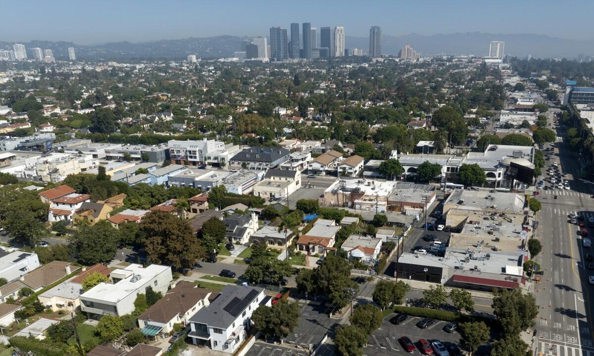
Home to more than ten million people, the Los Angeles metropolitan area accommodates one of the largest urban populations in the world. The vast majority of its landscape has been…

Home to more than ten million people, the Los Angeles metropolitan area accommodates one of the largest urban populations in the world. The vast majority of its landscape has been…
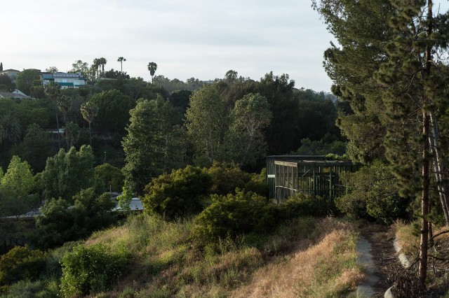
Native flora and fauna have become an increasingly rare sight within heavily urban communities. In cities, both flora and fauna communities frequently show drastically altered species composition, abundance, and richness,…